Corporate Blog
Living Legacy
Alaska DoT
From pixels to intelligence: protecting critical infrastructure in the world’s most remote regions
Critical infrastructure – the roads, bridges, airports, and energy grids that keep supply chains, businesses, and communities running – is the backbone of every economy.
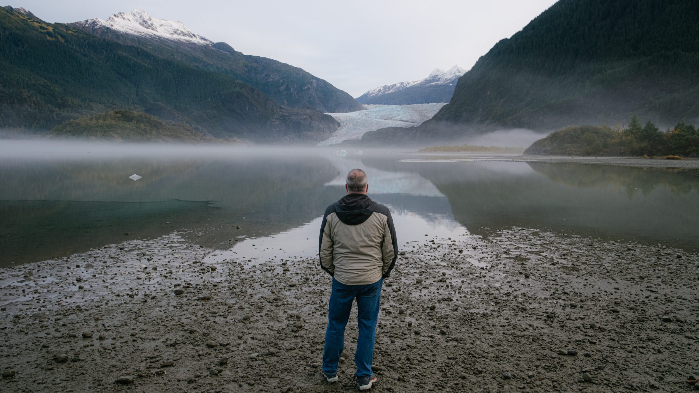
That is especially true in remote regions like Southeastern Alaska, where infrastructure is more than just a means to move from point A to B. It is a lifeline that ensures supplies arrive on time, medicines reach those who need them, homes stay warm and businesses can keep operating. In cities like Juneau, people like Jossline Jackson – whose story is told in this film, produced for Xoople by BBC StoryWorks Commercial Productions – are bracing for change. And that change is happening fast, with profound consequences.
The Juneau icefield, a frozen piece of history and enduring symbol of cultural heritage in Alaska, has become unpredictable and destructive. Over recent years, melting has caused devastating flooding at the glacier’s base and what’s changing as a result isn’t just the landscape, it’s the reliability of the surrounding infrastructure built to support those communities.
That’s the challenge the Alaska Department of Transportation and Public Facilities (DoT) is charged with navigating. But in a world where physical changes are happening at a scale and speed greater than governments and businesses can respond to alone, a new kind of response is needed.
This is where EarthAI comes in.
By transforming raw satellite images, down to each individual pixel, into actionable intelligence, we’re providing an AI-ready dataset that gives organizations a clear view of what’s happening on the ground – critical in situations that don’t have the luxury of time. These aren’t just abstract insights. It means pinpointing which roadways are most at risk; proactively closing bridges before flooding occurs; pre-planning resource investment and deploying teams to the areas that will be hit hardest. All before disaster strikes.
That is exactly what we are providing to the Alaskan DoT in Juneau: insights the human eye can’t spot, enabling them to move from reactive response to proactive planning and mitigation, enhancing their operations. What once took days of analysis can now happen in minutes, which didn’t exist before. This gives communities like Jossline’s and organizations like the DoT the foresight they need to act quickly and confidently.
This year, we’re expanding our scope to monitor the entire state of Alaska, moving the DoT further from what they can see to what they can predict, and protecting more critical infrastructure.
When decisions affect lives, industries, and infrastructure, time is not an abundant resource. Through Xoople, organizations can move from reacting to predicting; from uncertainty to clarity. EarthAI isn’t just a technology, it’s a way to safeguard communities, operations, and economies in a rapidly changing and volatile world.
The Juneau ice-field flood basin is one example – but the implications are global.
Watch the film to see how EarthAI is improving decisions that lead to better lives.