
Industries
Earth data intelligence that maximizes efficiencies and reduces risk across industries, by recognizing patterns, detecting change and providing predictive insights through EarthAI.
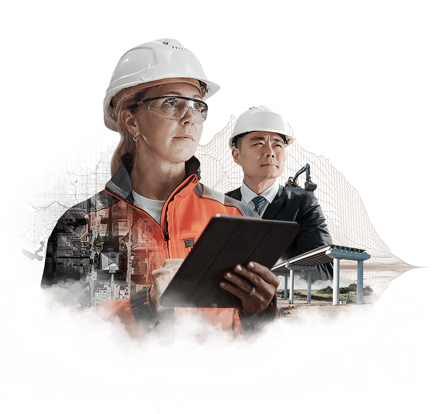
Architecture, Engineering and Construction (AEC)
Improved project efficiency and risk mitigation throughout the entire lifecycle of construction and engineering projects. From site suitability assessments, environmental impact mapping and infrastructure planning, to the monitoring of projects, access routes and the movement of materials from source to site, and the rapid evaluation of build and infrastructure damage during, and following, natural disasters.
Identifying underutilized or deteriorated urban areas with high potential for revitalization and adaptive reuse and protecting buildings and sites of historical significance from development impacts, degradation, and environmental threats.
Energy, Utilities and Resources
Site suitability assessments for environmental impact, operational constraints and the strategic identification of optimal locations for critical infrastructure. Tracking end-to-end project development, operational statuses, waste disposal operations and maintenance needs to ensure greater efficiency.
Risk mitigation through the systematic tracking of key assets to ensure structural integrity and safety by identifying the existing and potential threats and impact of natural and man-made events, including high vegetation risks along utility corridors.
Ensuring the responsible management of natural resources, regulatory compliance related to emissions, water usage, waste reduction and environmental safety, and the development of renewable energy facilities to reduce carbon footprint and meet climate change targets.

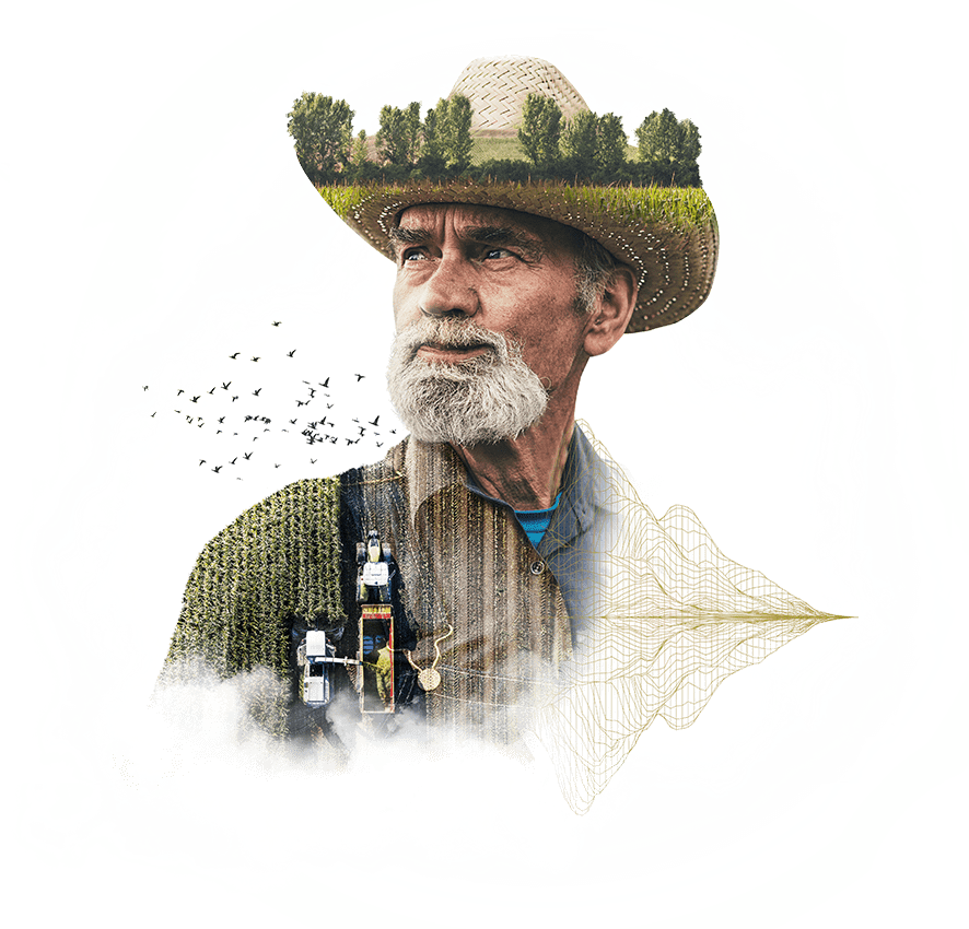
Agriculture
Early identification and tracking of emerging crop stress and the presence of disease, pests and crop damage from weather events. Monitoring changes to field boundaries, land use and areas at high risk of degradation.
Analyzing the historical performance and current conditions of soil, water and crop health with trend analysis to maximize resource allocation, yield, quality and market value. Measuring and verifying carbon stored in agricultural soils for carbon credit programs and the verification of production origins, practices and sustainability claims.
Transportation and Logistics
Route planning and resource optimization, including transparency of product movements from origin to destination and the tracking of emerging conditions that could lead to disruptions, including the impact of weather events and delays and operational constraints at seaports that impact global supply chains.
Examination of transportation routes, including infrastructure quality and the identification of conditions to guide better efficiency, safety and reliability, whilst helping to address disparities in access and quality across different communities.
Strategic identification of optimal locations for warehouses and distribution centers and the protection of transportation assets, cargo, and infrastructure from security threats.
Manufacturing and Retail
Ensuring supply chain stability and optimization by monitoring, analyzing and predicting the health of supplier crops and raw materials, including tracking their harvesting, extraction, processing and transportation, to ensure quality, sustainability, security and speed of supply.
Evaluation and strategic selection of optimal locations for manufacturing facilities, warehouses or retail stores and the ongoing assessment of their operational status and vulnerability, to maximize resource allocation and prevent downtime.
Rapid evaluation of the impact of geopolitical events, extreme weather and field health on the supply and delivery of products, including transport infrastructure, manufacturing facilities and retail operations.
Minimizing environmental impact through resource efficiency, carbon monitoring, waste reduction, clean energy utilization and the validation of environmental credentials for 3rd party inspection.
Telecommunications
Strategic planning for the placement of telecommunications infrastructure including cell towers, fiber routes, and equipment facilities by identifying optimal locations based on population density, terrain, building heights, existing coverage and the likely impact of environmental changes through historical and predictive analysis.
Monitoring key assets and infrastructure for signs of stress, damage, or degradation to ensure safety and service reliability, including vegetation growth that could interfere with telecommunications signals or damage infrastructure.
Identifying risks from natural hazards, weather events, and other environmental threats to ensure network resilience and readiness for rapid restoration of services.

Government
Urban planning, monitoring the development of construction and engineering projects, tracking urban expansion and land use over time, identifying unauthorized development and protecting the integrity of transportation routes and critical infrastructure.
Identifying and predicting fire and flood risks and the monitoring of natural and man-made disasters as they occur, to ensure the most appropriate preventative measures, response and allocation of resources.
Geological and ecological surveillance to continually monitor environmental conditions, ecosystems and biodiversity, including identifying and tracking deforestation, sources of pollution, natural hazards, vegetation vulnerability and changes in shorelines.
Financial services
Assessing financial exposure to geopolitical-related events and environmental hazards across investment portfolios and insured assets, including the health and status of commodities to identify existing or potential changes that may affect market pricing, and validating projects that generate carbon credits.
Identifying the suitability of investments, loans, and the pricing of insurance policies based on specific location-based risk factors including flood zones, wildfire risk, property conditions, crop health, soil conditions, critical infrastructure challenges and production potential. Including tracking the construction progress of large-scale infrastructure projects for decisions about phased loan disbursements.
Education and Research
Using consistent, accurate data as the basis of environmental, economic and social studies research for climate change, land use, pollution control, public health, disaster response, infrastructure planning, trade patterns, globalization and food security. Helping to inform decision-making that influences policies, conservation and humanitarian efforts, whilst driving R&D innovation across industries.
Within educational institutions, the integration of EarthAI data intelligence into curricula enables and encourages data-driven studies within STEM subjects and others, including geography, citizenship, social studies, government & politics and economics. Using real-world data to promote a far better understanding of the world in which we live, helping to inspire and educate the next generation of scientists, policymakers and business leaders.
Media and Entertainment
Enhances investigative journalism by enabling the comparison of current and historical data and the prediction of trends, whilst enabling the verification and monitoring of world events as they unfold, for more accurate insights and reporting.
Enables the best locations to be identified for film and television production, improves logistics planning for crew travel routes and equipment transport, and helps mitigate risks related to localized threats including changes in terrain or infrastructure.
Helps to make content and experiences more relevant and impactful, including the integration of more accurate simulations and visual effects in video games and the tailoring of social media and other content to geographic activity.

Not-for-Profit
Used to improve strategic and operational decision-making to deliver more targeted interventions, improve resource allocation, and maximize the impact of ongoing initiatives or emergency support related to poverty, the displacement of people, natural disasters, public health and environmental conservation.
Enables the monitoring, assessment and predictive modeling of changes on the ground and their impact on the communities and environment, to help with situational awareness and research, the coordination of relief efforts and the effective management and distribution of support, including supply chains and personnel.
Technology
Enabling tech companies to develop new innovations that harness the power of Earth data intelligence within new or existing AI-driven tools and applications to improve customer workflows and experiences across diverse use cases. Including demand planning and supply chain, e-commerce and retail optimization, mobility solutions, asset monitoring, construction and infrastructure projects, public safety, fraud detection, and agriculture and environmental tech.
Consumer applications for EarthAI data intelligence include the optimization of insights and user experiences across location-based services, smart home and IoT devices, travel and tourism apps, augmented reality, gaming and social platforms.
Real estate
Evaluating investment opportunities by understanding neighborhood dynamics, including accessibility, environmental constraints and exposure to natural disasters and other hazards to help determine environmental and human risks, appropriate insurance coverage and asset values.
Ensuring planned developments conform with local government regulations, tracking the progress of construction projects throughout their lifecycle to minimize supply chain risk, verify contractor claims and identify potential delays, whilst tracking compliance with sustainability standards.
Systematic tracking of property condition, maintenance issues, and physical changes over time to inform asset management decisions, and the evaluation of damage following weather events or disasters to support insurance claims and recovery planning.